-
 Transparency
 -
 Technology
 -
 Teamwork
 -
 Time
Time -
 Transformation
District at a Glance
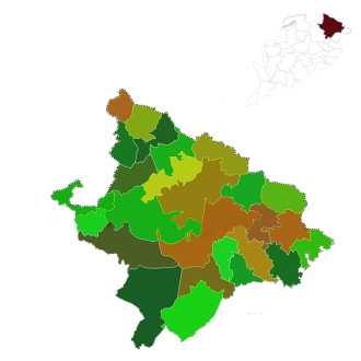
Mayurbhanj is a land locked district with a total geographical area of 10418 Sq.km. and is situated in the Northern boundary of the state with district headquarters at Baripada. The district is bounded in the North-East by Medinipur district of West Bengal, Singhbhum district of Jharkhand in the North-west, Baleshwar district in the South-East and by Kendujhar in the South-West. More than 39 % of…
- 20Apr2024
- 20Apr2024
- 20Apr2024
- 18Apr2024
- 09Apr2024
- 27Mar2024
- 10May2024
- 01Apr2024
- 26Mar2024
- 22Mar2024
- 22Mar2024
- 20Mar2024
- 16Mar2024
Geographic Location

Area : 10,418 Sq. kms.


